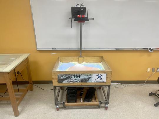
Augmented Reality (AR) Sandbox
An augmented reality (AR) sandbox is a 3D, interactive, dynamic educational tool to help understand mapping, topography, watersheds, natural hazards, and more! This tool uses a motion sensor and specialized computer software to map contour lines (lines of equal elevation) onto the sand that adjust to the elevation levels of the sand in real-time.

The Augmented Reality Sandbox was developed by the UC Davis W.M. Keck Center for Active Visualization in the Earth Sciences (KeckCAVES, https://www.keckcaves.org), supported by the National Science Foundation under Grant No. DRL 1114663.
For more information, please visit Oliver Kreylos' Research and Development Homepage - Augmented Reality Sandbox (ucdavis.edu)

