GEOL 321: Burgess Shale Paleontology
A Wonderful Hike: SSU Geology Studies Cambrian Life in the Canadian Rockies.
By Philip Mooney
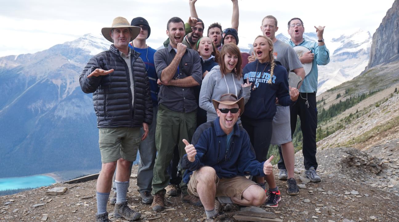
Twelve hearty souls from the SSU Department of Geology recently embarked on a 6-day field trip to the Canadian Rockies in British Columbia and Alberta. The focus of the trip was a visit to the world-renown Burgess Shale, a UNESCO world heritage site widely lauded as the most important fossil locality in the world. This field trip ran in conjunction with the upper level Geology elective course, GEOL321: Burgess Shale Paleontology, a class taught by the Department of Geology's paleontologist Matt James since 2003.
The fossils of Burgess Shale were discovered in 1909 during construction of the Trans-Canadian Railway. These 505 million year old fossils, remnants of creatures that once lived in a shallow sea, are the best record of the period of time after the appearance of modern hard-shelled multicellular animals and have proved pivotal to the study of Paleontology. They are located in the majestic Canadian Rockies on the eastern border of British Columbia, surrounded by stunningly beautiful mountains shaped by numerous glaciers. In short, a geologist's heaven!
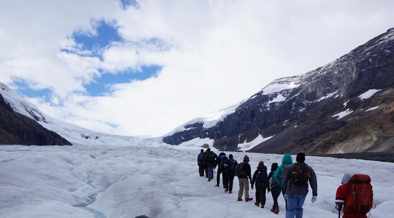
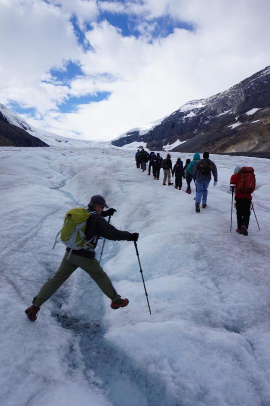
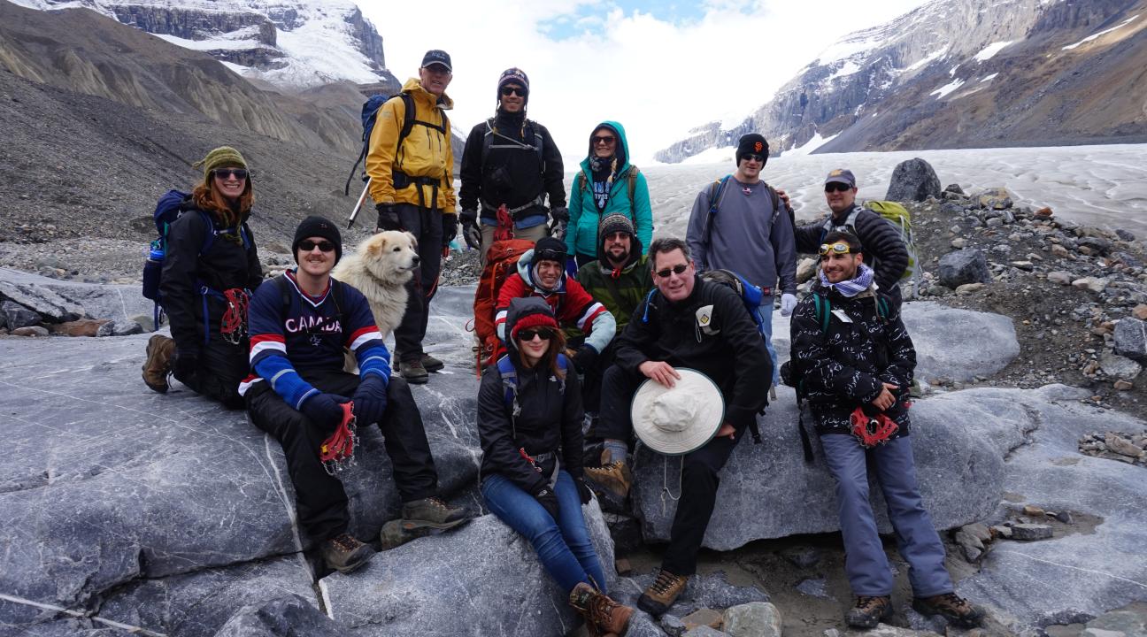
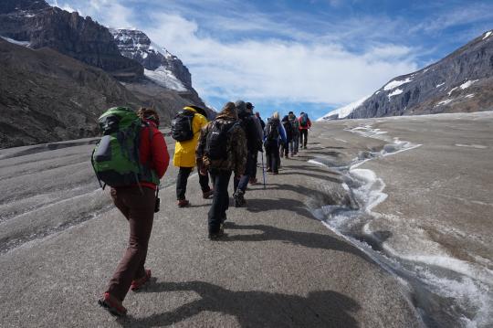
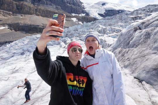
After a day of travel to their home base in Field, British Columbia, the first full day in the field was spent traversing the massive Athabasca Glacier with a mountaineering guide. The Athabasca Glacier is a 6 km long sheet of blue-green ice that slowly cascades down a valley that is connected to the Columbia Icefield, transporting massive sediment loads as it travels nearly 30 meters a year. On an all-day six mile hike up the glacier, students learned about glaciology, saw fantastic examples of a landscape carved by glaciers, and witnessed firsthand the effects of climate change as the ice retreated up the valley.
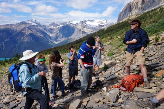
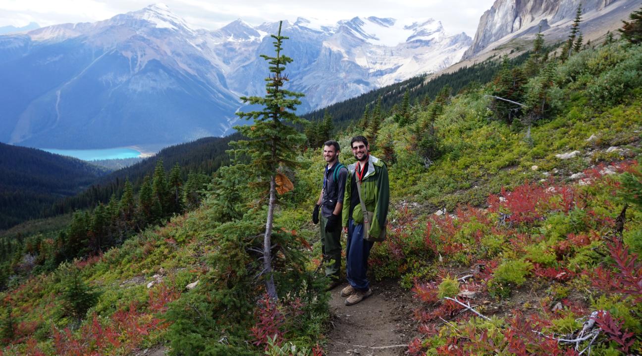
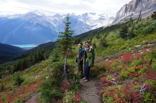
Next on the agenda were two days exploring the world famous Burgess Shale on guided hikes to the Walcott Quarry and the Mt. Stephen Trilobite Beds. A strenuous 13 mile hike, starting at a waterfall, heading uphill through beautiful forests, and traversing a mountain with stunning alpine scenery brought students to the most important of fossil sites, the historic Walcott Quarry where the Burgess Shale fossils were first discovered. Along the way students learned of exotic Cambrian animals such as the fearsome Anomalocaris, the five-eyed Opabinia, and the otherworldly Hallucigenia. The next day was a steep 5-mile hike up Mt Stephen where there were so many trilobite fossils that you couldn't help but step on them! At both of these sites, students were rewarded for their physical effort with amazing fossil finds and breathtaking views of the surrounding mountains.
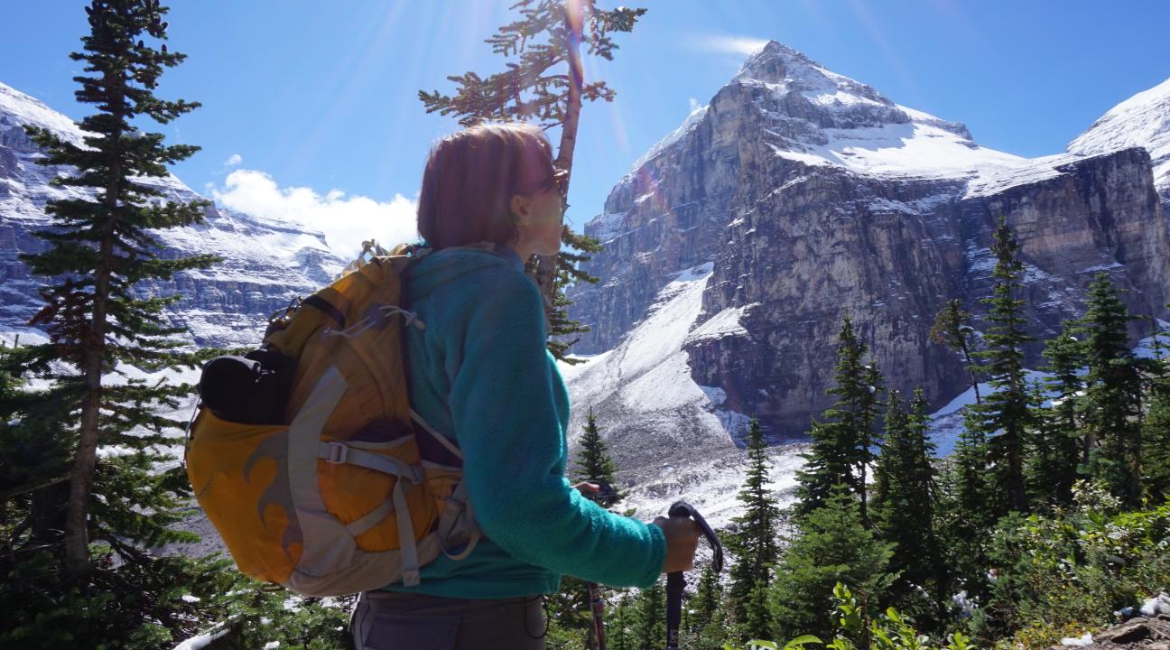
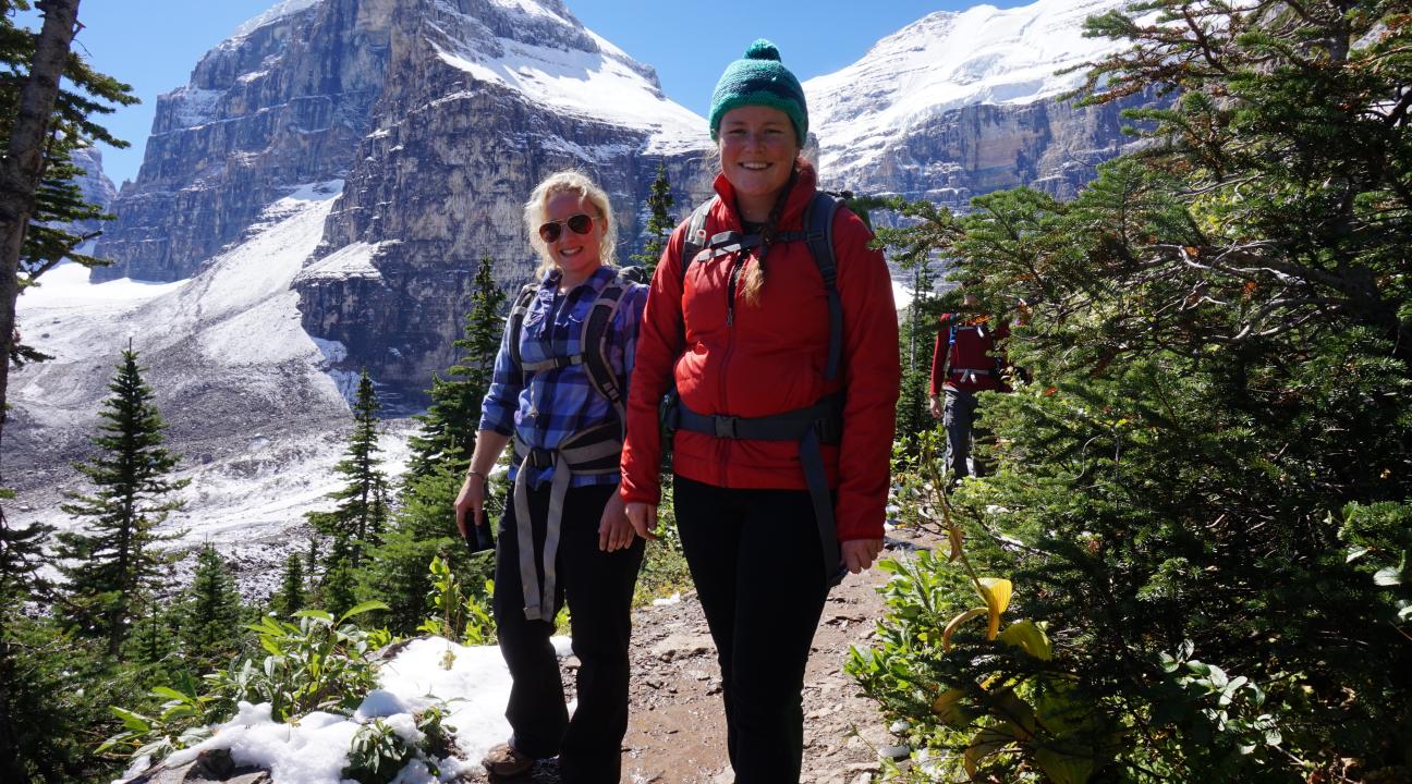
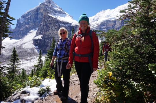
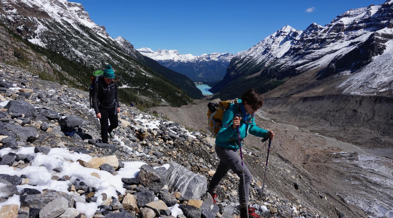
The last full day of the trip brought students into the world of mountains, faults, and glaciers with a hike around the gem of the Canadian Rockies, Lake Louise. A six mile hike brought students to a fantastic lunch at the Plain of Six Glaciers Tea Hut, a charming, historic, and primitive restaurant only accessible by foot. With bellies full of tea and hot scones, the intrepid geologists continued up the valley to a scenic overlook and discussion of the tectonic formation of western North America. With weary legs, the group hiked down and enjoyed a wonderful sendoff dinner, sampling meat from the characteristic terrestrial megafauna of a North America (Buffalo, Caribou, Elk, etc.) at the Emerald Lake Lodge.
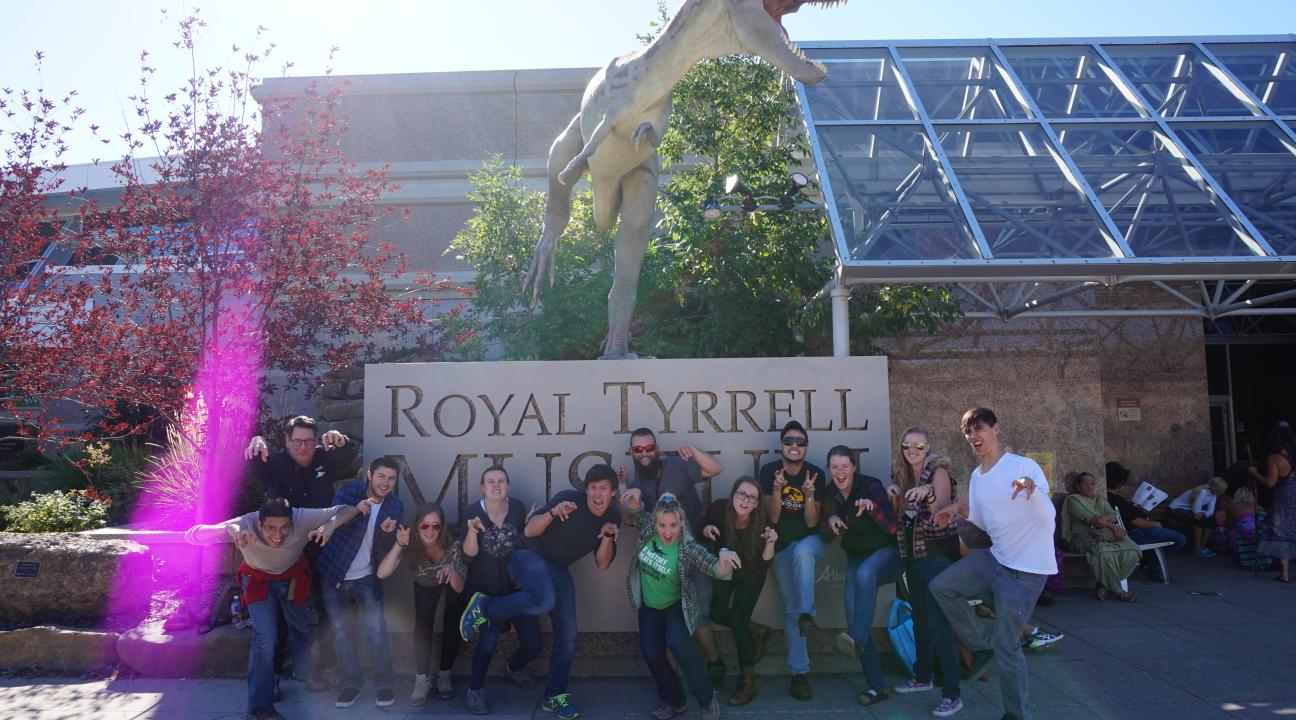
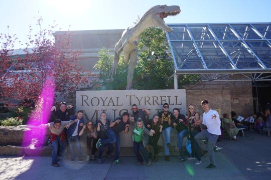
The sixth day was a day for travel, but along the way students were treated to a private tour of the Royal Tyrell Museum of Paleontology in Drumheller, Alberta. With an all-access behind the scenes tour by a resident paleontologist, they learned about all the hard work that goes into the preservation of fossils, explored the back room archives, and enjoyed a private tour of the main exhibits of the museum.
With 30+ miles of hiking packed into four full days, students traveled back to campus tired, in markedly better shape than when they began, and with a renewed vigor to continue their geologic education at SSU. There is no substitute for fieldwork and hands-on learning in the natural classroom of the Earth. Students had a great time on this trip, were exposed to beautiful and world-famous geology, and made memories to last a lifetime.
Burgess Shale Trip to Canada 2015
By Matthew J. James
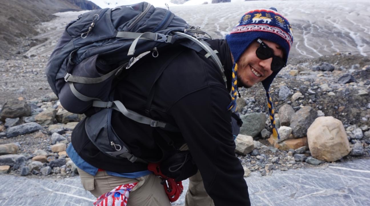
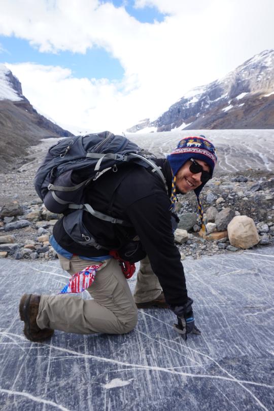
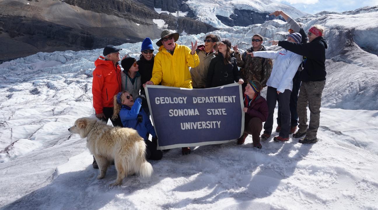
On August 19, 2015, when eleven SSU geology majors hopped off a boulder onto the ice at the toe of the Athabasca Glacier high in the Canadian Rockies in Jasper National Park, they stepped back in time by many thousands of years. The hard glacial ice under their crampons and hiking boots was actually ancient snow that fell thousands of years ago. The snow slowly compacted over time from the overlying weight of subsequent yearly snowfalls, adding to the mass of the glacier. The snow fell silently and the ice crystals slowly formed their interlocking solid matrix several miles uphill from where the SSU students got their first taste, literally and figuratively, of glaciers and glacial geology. Water melting off the glacier and running over the surface in numerous rivulets is perfectly safe to drink and refreshingly cold. The water is as pure, some would say, as driven snow. In the years when forest fires erupt in the nearby area, the glacial melt water takes on a smoky taste. The 11 students were participants on this year’s Burgess Shale Paleontology field trip, the second collaboration between co-leaders professor Matt James, a paleontologist, and Philip Mooney, a structural geologist.
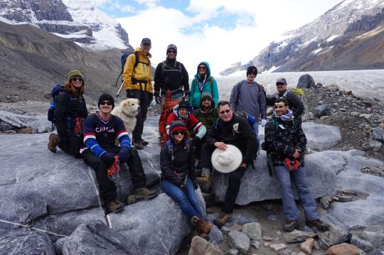
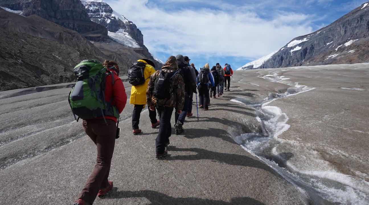
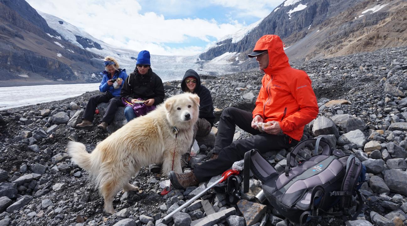
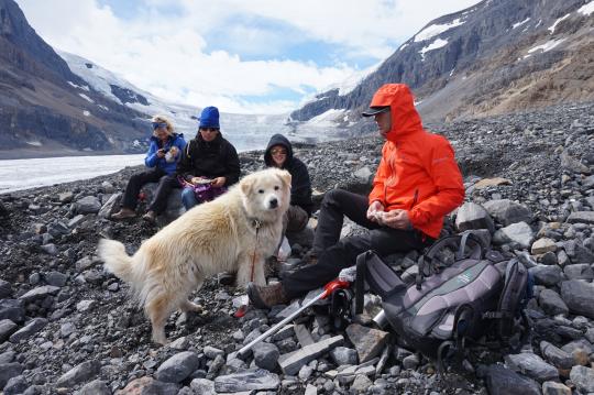
The warmly dressed students hoisted their backpacks, protected against possible rain and certain wind, carrying water and food to be consumed along the way during the six-hour hike. Hats, sunscreen, and sunglasses are basic equipment on a glacier to protect against the intense direct and reflected sunlight at high elevation. Looking more like the members of a Shackleton expedition to the South Pole, the geology majors were bundles of enthusiasm as they set off on a physically and intellectually rewarding part of their undergraduate education. The geologists hiked uphill for three hours, then back down for three hours, from the tourist-filled gravel parking lot to the upper reaches of the first icefall, far from the madding crowds and noises of civilization. The 13-person Sonoma State group followed single-file behind their experienced mountaineering guide, Peter Lemieux, and his faithful dog, George. Each step of the way they were surrounded by the simple and beautiful elements of nature: blue sky, white ice, gray limestone mountains towering on all sides, scattered white clouds, and a brisk wind. They were hungry for adventure and for knowledge.
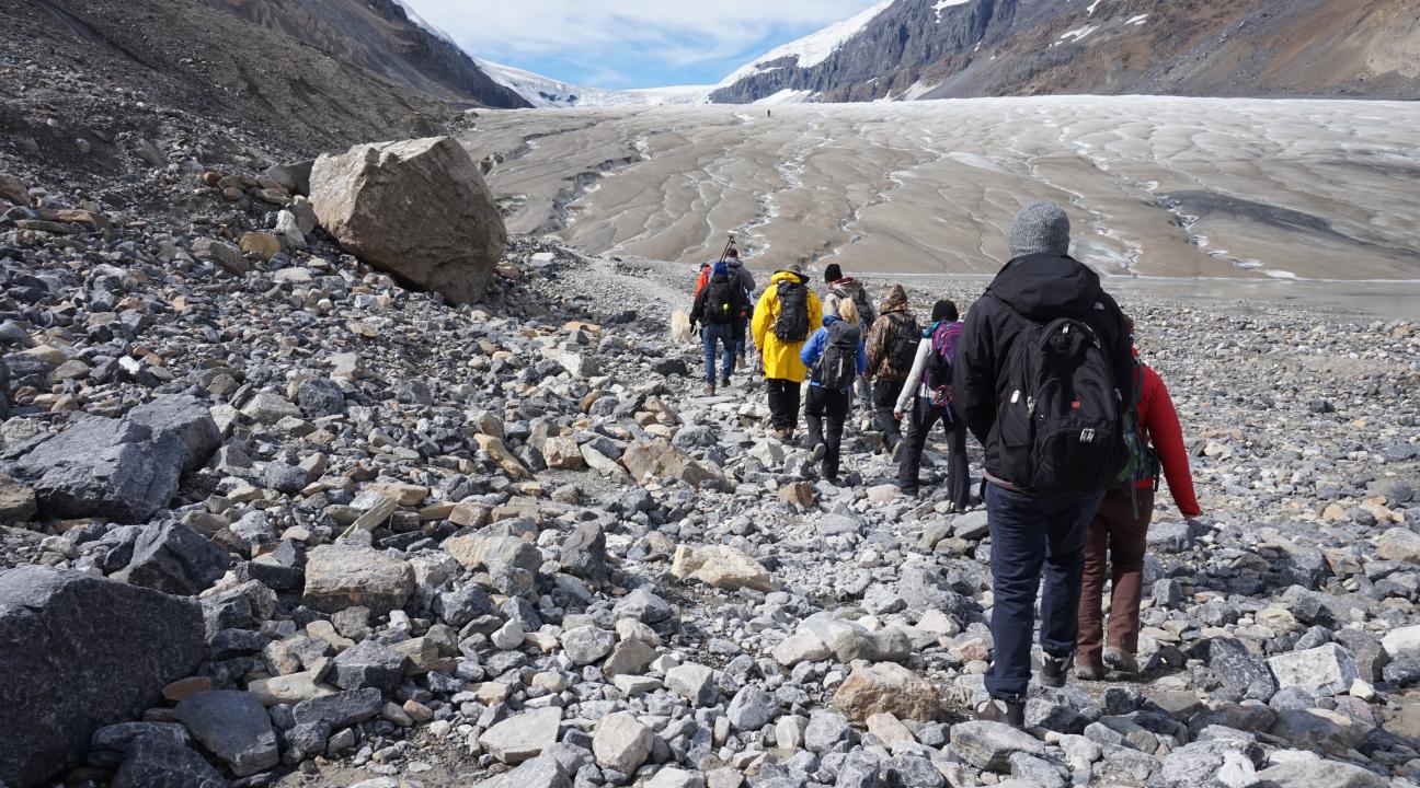
Along the way before reaching the ice, Peter Lemieux showed the group several “fingerprints” that glaciers leave behind, providing geologists with evidence of long ago activity, like detectives and crime scene investigators piecing together evidence of a crime. But in this case it wasn’t a crime, but the natural phenomenon of glaciers forming, growing, sliding downhill under the pull of gravity, and eventually receding. Students were able to see first hand, and lay their hands directly on, several of these diagnostic fingerprints. One of the most noticeable features is a series of scratches in the bedrock caused by stones frozen into the very bottom of the glacier. As the glacier moves downhill, the stones scratch parallel lines, or glacial striations, into any rock in their way, like miniature furrows in a plowed field. The ice itself also polishes the bedrock while the striations are being etched, resulting in glacial polish, another clue. The slow grinding action between ice and rock also results in very fine sediment, or glacial flour, that when suspended in water gives lakes in the area an emerald green color due to the refraction of light by the tiny particles. The final pieces of evidence, and perhaps the most noticeable even to the untrained eye, are massive piles of rock and dirt, sometimes hundreds of feet high. These glacial moraines were bulldozed by the ice at both the edges of the glacier and at the downhill toe of the glacier. Moraines resemble the material a bulldozer would pile up if the bulldozer did its work and then left the scene without cleaning up the mess. And it would have to be a really huge bulldozer. These glacial clues are textbook ideas, and the Athabasca provides excellent textbook examples to supplement what the students would otherwise just read about, or watch in a darkened classroom in a PowerPoint presentation, or view online.
Over time, the Athabasca ice, and that of all glaciers, flows inexorably downhill at a measurable pace that can only be described as, well, glacial. The Athabasca Glacier is noticeably shrinking in both total length and total thickness, something that Professor James has seen first hand since his first annual trip to Canada with SSU students in 2003. The glacier has retreated 1300 feet (400 meters) horizontally, nearly a quarter of a mile, and become over 250 feet (80 meters) thinner vertically during those 12 years. A graphic example of the annual thinning was shown to the geology students. Several aluminum pipes were drilled from the surface through the glacier to the bedrock back in the 1980s by Canadian researchers. Each Spring hiking season when Peter Lemieux and his other guides start their public hikes, they wrap green electrical tape around the poles right at the level of the ice. By the time the SSU geology students arrive to hike in late August or early September, the green tape is 15 to 20 feet off the ice, showing the amount of melting, or ablation, that has occurred in just a few months. Such a demonstration causes more than a few jaws to drop.
Each year new snow falls in the winter, adding to the glacier, but the overall story of the Athabasca is one of net shrinkage from melting, not of growth. The half-mile road to the parking lot where the glacier hike starts has prominent signs documenting the position of the toe of the glacier in ten-year increments going back to the late 19th century. Photographs taken from the exact same vantage point for nearly one hundred years provide some of the most incontrovertible evidence of the shrinking of the Athabasca Glacier. The receding of glaciers worldwide is a pervasive, sustained, and accelerating global trend.
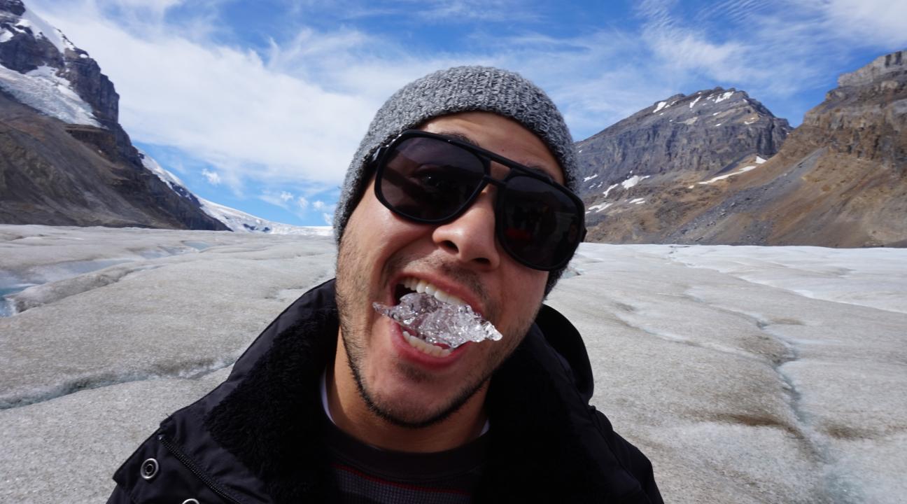
Not only is the glacier physically shrinking, lending credence to scenarios of global climate change, but it also contains air bubbles trapped in the ice that provide actual data on the amount of CO2 in the past atmosphere. The geology students broke off chunks of ice, popped them into their mouths and joked about enjoying “the ancient air” as they chewed on the ice. Part of the attraction for the SSU geology group was the ease of access to the glacier, visible from highway 93, the monumentally scenic Icefields Parkway, running from Banff National Park up through Jasper National Park. The Athabasca Glacier is part of the much larger Columbia Icefield, the largest ice field in North America. For size comparison, if the entire Icefield is the size of a football, the Athabasca glacier protrudes from it like your index finger. In six hours, the SSU group traversed about halfway up the glacier, or from your fingernail to the second knuckle. Longer trips up the glacier, or even up onto the Icefield proper for multiple days or snow camping and ice climbing, would require greater experience and technical expertise.
The geology majors walked safely and easily uphill, talking ebulliently amongst themselves, crampons crunching into the ice at each step, stopping for short lectures and humorous anecdotes from their guide, Peter Lemieux, who operates the icewalks.com agency that provides guided hikes to the general public in the summer months. They were told in Peter’s wink-wink, nudge-nudge Canadian good humor that if they urinated on the Columbia Icefield, the melt water would end up in three oceans: the Atlantic, the Pacific, and the Arctic. This is due to the Columbia Icefield being the “hydrographic apex of North America.” Something to think about when nature calls. Only one other such apex drainage exists in the world, in Siberia.
The trek up the Athabasca Glacier is an archetypical example of “awe-inspiring” practical education and student engagement. Whenever geologists hear about “hands on” education, we immediately think about “boots on” education. Students traveling internationally, even if just to Canada, is an educational innovation only seen in the Geology Department within the nine departments in the School of Science and Technology at Sonoma State University. From classroom, to laboratory, to spectacular field destinations, the SSU Geology Department is renown for innovation and educational excellence.
The grandeur and scope of the mighty glacier embedded in the Canadian Rockies serves as a highly relevant, hands-on outdoor classroom, teaching geology majors more in six hours than they could learn in six days, or six weeks, in the confines of Darwin Hall. For geologists, the entire world is our outdoor classroom. No location on Earth is devoid of an underlying geological story. Every geology field trip results in a demonstrable increase in each student’s core competency, knowledge, and confidence, and they grow personally and professionally. For most students, this weeklong trip to Canada is their only international field trip during their undergraduate education.
***
Walcott Quarry Hike
505 million years ago might sound like a long time to the general public, but not for SSU geology majors hiking high in the Canadian Rockies to see the UNESCO World Heritage Site that protects the Burgess Shale fossil deposits in Yoho National Park in British Columbia. For geologists, a million years is like a million dollars to the State legislature, where the possibly apocryphal phrase arose: “A million dollars here and a million dollars there, before you know it, it adds up to real money.” Analogously for geologists, a million years is not a particularly long time, especially when considering the oldest rocks on Earth are 4.7 billion years old. So, when SSU geology majors visit these world-famous 505 million year old fossil deposits they are “only” going back ½ a billion years into the almost 5 billion year rock record. Geologists and paleontologists dig through these rock layers, like the archival pages in the most extensive library on Earth, to learn how life has changed over time.
Following behind Canadian paleontologist Dr. Paul McNeil, a string of SSU geology majors started a day-long hike at the spectacular, nearly 1000-foot Takakkaw Falls, a few miles in from the Trans-Canada Highway near the village of Field, British Columbia. Over the next ten hours the group gained 1800 feet in elevation at an altitude of 7500 feet, testing the strength of their lungs and of their legs. Their 15-mile hike took them round-trip to the storied Walcott Quarry and back in time by that “mere” half a billion years. The Walcott Quarry has been called, and rightly so, the most important fossil locality in the world. The reason extends back in time to a certain 3” long fossil with the earliest traces of a backbone, and forward in time to you and me.
High on the windy slopes of Mount Wapta, well above tree line with panoramic views in all directions, the Walcott Quarry was discovered in 1909 by American paleontologist Charles Doolittle Walcott (1850-1927), who actually did a lot in his role as the most powerful scientist in America, perhaps the first and last time that role was occupied by a paleontologist. When not scouring the West for new fossil localities, Walcott was sequentially the Director of the U.S. Geological Survey, the Secretary of the Smithsonian Institution, a member of the National Academy of Sciences, the President of the American Association for the Advancement of Science, and a founder of the Carnegie Institution of Washington. He is arguably best know to the general public for his paleontology work on the Burgess Shale fossils, due in large part to being featured prominently in the 2001 book Wonderful Life by the late Harvard paleontologist Stephen Jay Gould. The SSU geology majors were walking literally and figuratively in Walcott’s footsteps, on the same trails Walcott traversed on horseback with his family and field assistants over a century ago.
A large slab of rock blocked the trail, so the story goes, on the slopes of Mount Wapta high above Emerald Lake in 1909 when Walcott, being a gentleman, as all paleontologists are, dismounted and moved the slab so his wife’s horse would have easy passage. That slab revealed the first fossil evidence from the Burgess Shale and defined Walcott’s Canadian fieldwork and his Smithsonian museum work for the remainder of his life.
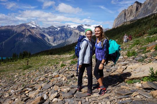
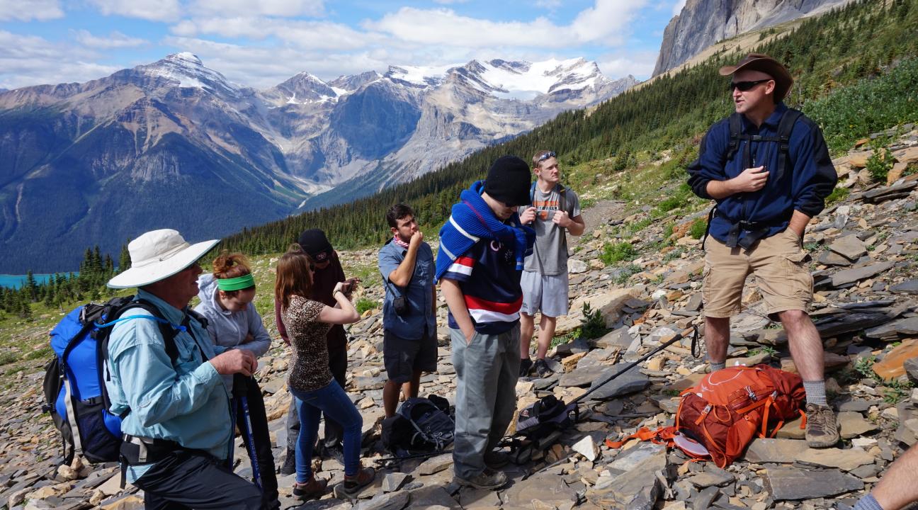
The geology students reached the Walcott Quarry in mid-afternoon after several short lecture stops where they took notes in the yellow field notebooks, and a lunch stop. Their final push was up “The Silencer,” a grueling 20-minute series of switchbacks, so named because all conversation usually ceases amongst hikers as everyone focuses on just putting one foot in front of the other in the thin air at the relatively high altitude. The SSU geologists, however, chatted amongst themselves all the way up The Silencer. They couldn’t wait to get to the fossil quarry.
Fossils in the thin layers of broken up grayish-black shale are so abundant on the ground in the Walcott Quarry that avoiding stepping on them is nearly impossible, and sitting down anywhere to rest or take notes results in numerous specimens at arm’s length. The specimens can be picked up, photographed, or a rubbing with pencil and paper can be made. However, collecting specimens is strictly forbidden, as all the Burgess Shale localities and fossils are protected for all of humanity under the protective umbrella of being a UNESCO World Heritage Site and under the able guardianship of Parks Canada.
***
Rain, wind, and dropping temperatures greeted the intrepid group of SSU geology majors outside the Fireweed Hostel after a hearty breakfast on the morning of August 21, 2015, as they prepared to trek most of the way up Mount Stephen, a 10,495-foot limestone peak towering above the village of Field, British Columbia. Setting off on foot through the streets of Field with their experienced paleontologist guide, Dr. Paul McNeil, the geology students left civilization and entered the forest on a trail at the edge of town. Access to this trail is tightly restricted by Parks Canada and is only available to hikers on approved visits arranged through the Burgess Shale Geoscience Foundation. Prominent signs deter hikers from entering the trail, and motion sensors in the ground alert Parks Canada rangers of violators who illegally penetrate the sanctum sanctorum. There is only one trail in and one trail out. So, fast-moving rangers will catch you, or a government helicopter will swoop down from above.
Everyone had packed into their daypacks the standard hiking supplies of food, water, and raingear. The third item was needed desperately within the next few minutes.
Returning down the mountain, the entire group agreed that cutting the hike short due to rain, wind, and especially due to dropping temperatures was absolutely the right thing to do. Cutting a wilderness hike short due to bad weather is never a mistake, but continuing on and ignoring the obvious signs of nature can be disastrous. Everyone returned to the Fireweed Hostel just after lunch for hot showers, hot coffee, and hot chocolate. Then the group set off for a soul-warming dinner at the Emerald Lake Lodge, a short drive from the town of Field.
***
Summary: The Burgess Shale trip of 2015, actually encompassed much more than just the two hikes to the Burgess Shale fossil deposits. This international field trip is yet another demonstration of how the Geology Department combines the best of 19th century boots-on-the-ground field experience and active learning with cutting edge 21st century technology back on campus.
Other components of the Canada trip (could be expanded as needed):
National Car Rental desk, last minute vehicle switch; Sobey’s food shopping, packing vehicles like Tetris puzzle.
Fireweed Hostel, town of Field, BC., small, remote, friendly.
Saskatchewan River Crossing, the long history of early Canadian fur trappers and explorers, starting with Native Americans.
Icefield Center on Icefields Parkway in Jasper National Park huge visitor center with sweeping views of the Columbia Icefield, the Athabasca Glacier, and a half dozen other glaciers; numerous glacial features readily visible.
2X Burgess Shale hikes – Walcott Quarry, Mt. Stephen Trilobite Beds.
Plane of Six Glaciers up behind Lake Louise, and two-story, log cabin tea hut; Chateau Lake Louise, going from crowded tourist stop to wilderness experience in a short distance.
Royal Tyrrell Museum of Palaeontology in Drumheller, world’s best Burgess Shale exhibit, extensive dinosaur exhibits, general paleontology; gift shop, cafeteria; Bleriot Ferry across the Red Deer River, takes cars for free; Beiseker Colony of Hutterites (missed on 2015 trip), learning about Anabaptists and their beliefs, and town of Beiseker, Alberta, a very typical small town on the plains of Alberta.
Wicked Hostel, Calgary; YYC airport, go through U.S. Customs in Calgary, not in U.S., slight difficulties students had either entering Canada or leaving Canada, ways to avoid that in the future.
Acknowledgements: Kim and Craig Chapman at the Fireweed Hostel in Field. Peter Lemieux, the “Iceman” at icewalks.com for a safe, enjoyable, and educational glacier walk. Kathy Taerum and Susan Williamson at the Burgess Shale Geoscience Foundation for allowing us to schedule our group hikes on convenient days. Paul McNeil for his 11th year of guiding SSU groups since 2003 to the Walcott Quarry and to the Mount Stephen Trilobite Beds, and for general companionship, storytelling, and good cheer during and after the hikes; and to Paul and Sue Lubell for their hospitality and BBQ dinner at their home in Calgary on our last night. Geoffo Reith and Mackenzie Bromstad for hanging out with us at the Fireweed, Emerald Lake Lodge, and Lake Louise. David Lloyd for help with logistics at the Royal Tyrrell Museum of Palaeontology and past/future behind-the-scenes tours of the preparation lab and vast storage facility of dinosaurs and other fossils.
Geology Students Learn the Cold, Hard Facts - on a Glacier
By Matthew James, geology professor
From classroom to laboratory to spectacular field destinations, geologists are renown for innovation and educational excellence. Every location on Earth has an underlying geological story, and every geology field trip results in a demonstrable increase in each student's core competency, knowledge and confidence, pushing them to grow personally and professionally. On Aug. 19, 11 geology and earth science majors from Sonoma State University hopped off a boulder and jumped back in time by many thousands of years.
The students were traveling as part of a seven-day paleontology field trip to the Burgess Shale, the second collaboration between geology professors Matt James, a paleontologist, and Philip Mooney, a structural geologist.
When they stepped onto the toe of the Athabasca Glacier high in the Canadian Rockies in Jasper National Park in Alberta, students left behind their familiar world of rock and soil to enter the world of snow and ice. The hard glacial ice under their crampons and hiking boots was actually ancient snow that fell thousands of years ago, having slowly compacted into ice over time from the overlying weight of subsequent yearly snowfalls, adding to the mass of the glacier. The original snow fell silently and the ice crystals expanded to form their interlocking solid matrix several miles uphill from where the geology students got their first taste, literally and figuratively, of glaciers and glacial geology.
Water melting off the glacier and running over the surface in numerous rivulets is perfectly safe to drink and refreshingly cold. The water is as pure, some would say, as driven snow. In the years when forest fires erupt in the nearby area, the glacial melt water takes on a smoky taste. Geology major Steven Adam Woodall said, "I enjoyed drinking this refreshing water straight from the runoff creeks while standing atop the glacier. At this moment I felt both proud and humbled." It was a global geological lesson from Canada's shrinking glaciers unfolded before them.
The Athabasca Glacier hike was their first full day in Canada, after an afternoon flight from San Francisco to Calgary in Alberta, then driving west into the night to reach British Columbia, some three hours away.
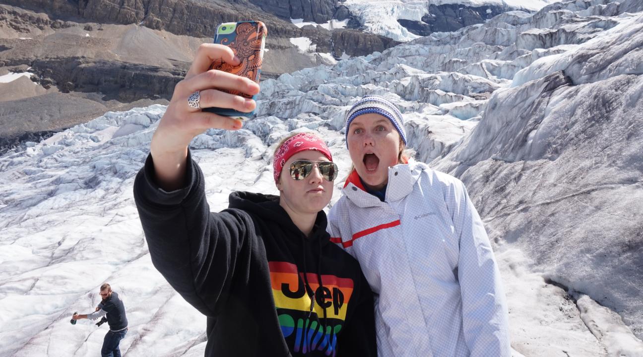
The students' padded parkas protected them against possible rain and certain wind. They hoisted backpacks stuffed with water and food to consume along the way during the six-hour hike. Everyone brings hats, sunscreen, and sunglasses for protection against the intense direct and reflected sunlight at high elevation. Looking more like the members of a Shackleton expedition to the South Pole, the geology majors were bundles of enthusiasm as they set off on a physically and intellectually rewarding part of their undergraduate education. "Hiking the glacier was like exploring a whole new planet," said student Eli Messinger.
We geologists hiked for six hours from the tourist-filled gravel parking lot to the upper reaches of the first icefall, far from the madding crowds and noises of civilization. The 13-person Sonoma State group followed single-file behind their experienced mountaineering guide, Peter Lemieux, and his faithful dog, George. Each step of the way they found themselves surrounded by the simple and beautiful elements of nature: blue sky, white ice, gray limestone mountains towering on all sides, scattered white clouds, and a brisk wind. They hungered for adventure and for knowledge.
Along the trail from the parking lot before reaching the ice, Peter Lemieux showed the group several "fingerprints" that glaciers leave behind, providing geologists with evidence of long ago activity, like detectives and crime scene investigators unearthing telltale clues and piecing together evidence of a crime. But this case wasn't a crime, but the natural phenomenon of glaciers forming, growing, sliding downhill under the pull of gravity, and eventually receding. Students were able to see firsthand, and lay their hands directly on, several of these diagnostic fingerprints.
One of the most noticeable features is a series of scratches in the bedrock caused by stones frozen into the very bottom of the glacier. As the glacier moves downhill, the stones scratch parallel lines, or glacial striations, into any rock in their way, like miniature furrows in a plowed field. The ice itself also polishes the bedrock while etching the striations, resulting in glacial polish--another clue.
The slow grinding action between ice and rock also results in very fine sediment, or glacial flour. When suspended in water, glacial flour gives lakes in the area an otherworldly emerald green color due to the refraction of light by the tiny particles.
The final pieces of glacial evidence, and perhaps the most noticeable even to the untrained eye, are massive piles of rock and dirt, sometimes hundreds of feet high. The ice bulldozed these glacial moraines at both the edges of the glacier and at the downhill toe of the glacier. Moraines resemble the material a bulldozer would pile up if a really huge bulldozer did its work and then left the scene without cleaning up the mess.
These glacial clues are textbook ideas, and the Athabasca provides excellent textbook examples to supplement what the students would otherwise just read about, or watch in a darkened classroom on a PowerPoint presentation. "My favorite hike was the Athabasca Glacier hike," said student Kaitlyn Fleming. "Our guide, Peter, made it fun, interesting, and very enjoyable. I feel like I learned so much from him. I also liked how he made a great effort to get to know each and every one of us."
Over time, the Athabasca ice, and that of all glaciers, flows inexorably downhill at a measurable pace that can only be described as, well, glacial. The Athabasca Glacier is noticeably shrinking in both total length and total thickness, something that I have seen first hand since my first annual trip to Canada with Sonoma State students in 2003. The glacier has retreated 1,300 feet horizontally, nearly a quarter of a mile, and become over 250 feet thinner vertically during those 12 years.
On this trip, the students were able to observe a graphic example of the annual thinning.
Back in the 1980s, Canadian researchers drilled several aluminum pipes from the surface through the glacier to the bedrock. Each summer hiking season when Lemieux and his other guides start their public hikes, they wrap green electrical tape around the poles right at the level of the ice. By the time our geology students arrive to hike in late August or early September, the green tape is 15 to 20 feet off the ice, showing the amount of melting, or ablation, that has occurred in just a few months.
The geology students reeled in surprise when they saw the firsthand the impact of global warming. Suddenly their classroom exercises and book learning fell into place as they stared skyward at the green tape.
The receding of glaciers worldwide is a pervasive, sustained, and accelerating global trend. Each year new winter snow falls, adding to the glacier's volume, but the overall story of the Athabasca confirms net summer shrinkage from melting, not of growth--the glacier is like a sugar cube out in the rain. The half-mile road from the highway to the parking lot where the glacier hike starts has prominent signs documenting the position of the toe of the glacier in 10-year increments going back to the late 19th century. Photographs taken from the exact same vantage point high on a hill opposite the glacier for nearly 100 years provide some of the most incontrovertible evidence of the shrinking of the Athabasca Glacier.
Not only is the glacier physically shrinking, but it also contains air bubbles trapped in the ice that provide actual data on the amount of CO2 in the atmosphere of the past. The geology students broke off chunks of ice, popped them into their mouths and joked about enjoying "the ancient air" as they chewed on the ice.
Tracking glacier history is an archetypical example of "awe-inspiring" practical education and undergraduate student engagement. Whenever geologists hear about "hands on" education, we immediately also think about "boots on" education. Our guiding philosophy extends back to Aristotle, who wrote, "We are what we repeatedly do. Excellence, then, is not an act, but a habit."
The grandeur and scope of the mighty glacier embedded in the Canadian Rockies serves as a highly relevant, hands-on outdoor classroom, teaching geology majors more in six hours than they could learn in six weeks in the confines of Darwin Hall on the university campus. On the Canada trip students found themselves immersed in the hydrosphere, the lithosphere, and the atmosphere; for geologists, the entire world is our outdoor classroom.
For most students, this weeklong trip to Canada is their only international field trip during their undergraduate education. When students travel internationally, even if just to Canada, it provides a unique educational innovation. "Having the opportunity to travel internationally meant a lot to me," said geology major Brandon Carroll. "Meeting, networking, and learning from experts in the fields of geology, paleontology and glaciology made the trip particularly memorable."


